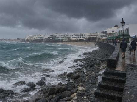



DANA is short for Depresión Aislada en Niveles Altos, an isolated depression at high levels, known in English as a cut-off low. It is a pocket of cold air high above the Atlantic that has split away from the jet stream. Cold air aloft over a warmer sea makes the atmosphere unstable, which is what brings the cloud and showers. Some DANAs bring heavy rain, but AEMET describes this one as weak, with the worst of it expected on the western islands.
In Lanzarote, the morning should start with some sunshine between the clouds before it clouds over in the afternoon. Rain is forecast to be light for the most part, but it could be heavier or longer lasting in places, and some parts of the island may stay dry altogether.
Temperatures will barely notice. Wednesday tops out at around 23°C, the night stays warm at 20 to 22°C, and a moderate north easterly wind may pick up inland around the middle of the day.
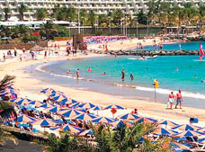
Thursday should be a better day. The north may hang on to some cloud and the odd light shower, but most of the island can expect sunny or clear skies, a touch of high calima haze and highs of 24 to 26°C, with the night falling to around 18°C.
AEMET has put El Hierro and La Palma on yellow alert for rain. No warnings have been announced for Lanzarote or La Graciosa.
If you have a boat trip or a hike booked for Wednesday, check with the operator in the morning. On the roads, slow down in heavy showers, and never drive or walk through water flowing across a road or down a barranco. If you need somewhere dry, our attractions in Lanzarote page has plenty of ideas, and the full week ahead is on our Lanzarote weather forecast page.
Once the sun is back on Thursday, it is a good chance to catch up on anything the rain put off. Our guide to things to do in Lanzarote has ideas for the rest of the week, from beaches and boat trips to days out across the island.