


In a press release, the AEMET said that Hurricane Joaquin (which is losing its tropical characteristics, which can be referred to as post-tropical) "will move rapidly over the Atlantic, but weakening as it moves westward."
Today between 8 pm and till tomorrow there could be some high seas in the Atlantic (Azores, Altair and Charcot).
The storm will reach the western shores of the peninsula on Saturday, 10th October 2015, but is already quite weak. But the remnants of the storm could result in precipitation from Saturday afternoon, extending from west to east in the Peninsula over Sunday, 11th October and Monday, 12th October 2015.
There could be heavy rainfall in areas of northwest Spain. There will be weaker and more scattered rain in the southeast, and will be very unlikely in the southeast coast of the peninsular.
Rainfall tends to decrease in the northwest on Monday, 12th October, while the wind could become stronger in Galicia, especially on its western coast.
The AEMET said, there could be precipitation, on the islands at higher altitudes, which would start on Saturday 10th October and will tend to decrease over Monday, 12th October.
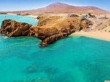
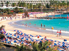
We hope the temperature stabilizes and for those coming to the islands do not miss out on the sun. To enjoy the most, why not check out some awesome day tours by our Partners Excursions Lanzarote.
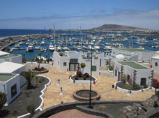
Lanzarote Holidays are exciting and memorable with LanzaroteON, whether you are here with family or friends. Check daily Lanzarote Weather for latest weather updates and weather forecast. Do not hesitate to Contact Us for Hotels, Excursions in Lanzarote, partying in Lanzarote and basically anything you fancy doing here. Do not forget to check out the closest beaches to your hotel with LanzaroteON's Interactive Map, your stress free travel guide for a pleasant and safe holiday and get LanzaroteON's Free Discount Card to avail discounts at restaurants, bars, discos and other venues.